
01
Positioning across thresholds
GNSS is restricted indoors, while loading doors bring obstruction and lighting changes. Different frames or positioning systems complicate transitions.
Impact: position discontinuities and interrupted transfers
Connect positioning, perception, dispatch and vehicle control for AGVs, AMRs and site transport vehicles moving between warehouses, loading areas and outdoor routes.
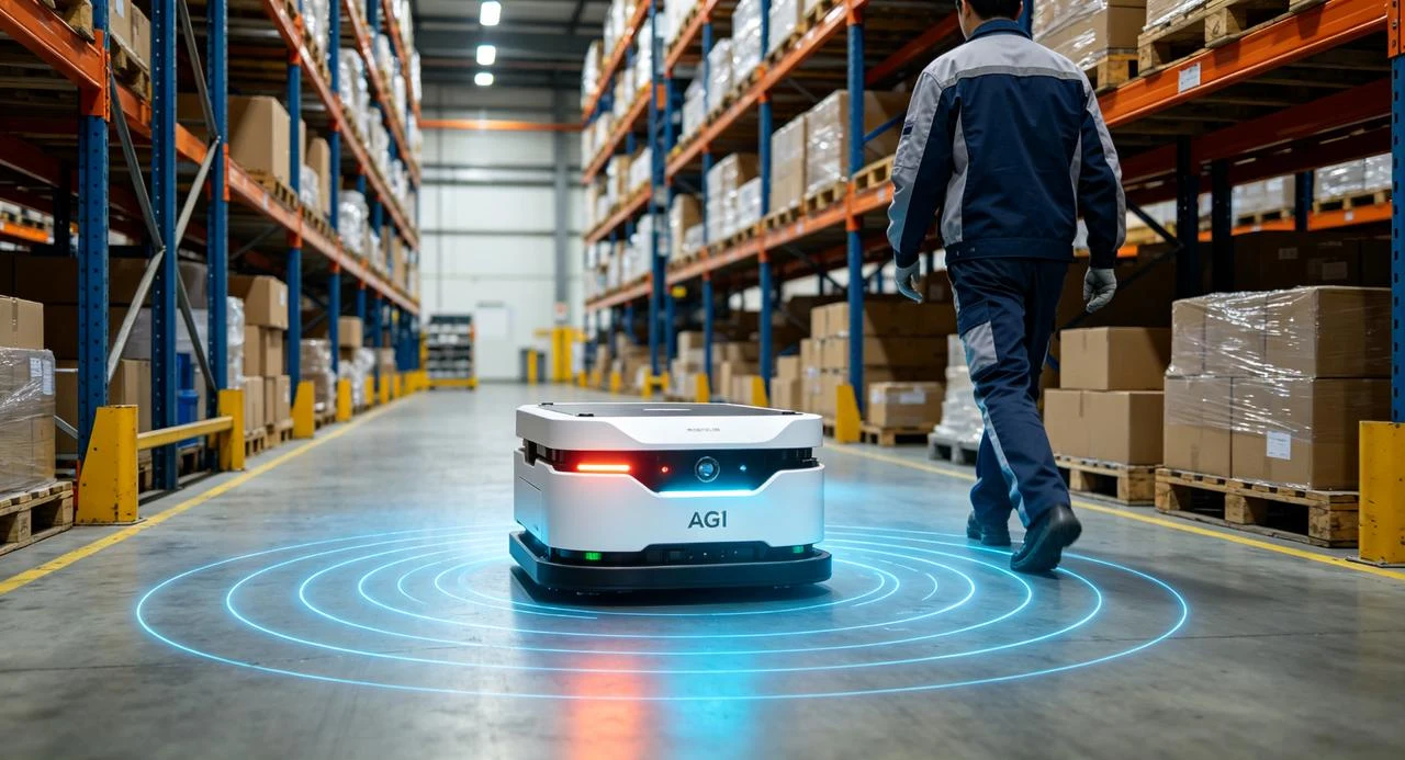 Shared trafficAisle access
Define the solution around actual operating conditions.
GNSS is restricted indoors, while loading doors bring obstruction and lighting changes. Different frames or positioning systems complicate transitions.
People, forklifts and temporary loads change available space. Obstacle handling must match perception with speed, payload and braking performance.
Routes, racks, loading points and vehicle types change. Distributed sensors and interfaces add calibration, commissioning and maintenance work.
Combine GNSS, IMU and stereo vision to provide position, attitude and depth. Decouple navigation from execution for integration with the existing chassis, dispatch and safety controls.
Consistent pose outputs across indoor and outdoor conditions
Connect existing controls and safety strategies through agreed interfaces.
Configure missions, records and feedback with the application system.
Use GNSS outdoors and visual-inertial information indoors. Align map, station and chassis frames, then validate door transitions, repeat routes and recovery.
Stereo depth supports traversable-space perception, complemented by other sensors as needed. Coordinate navigation with slowing, stopping, emergency stops and alerts for the actual payload and braking distance.
Integrate navigation with existing AGV or AMR controls while retaining dispatch and business logic. Standardize mounting, timing, station docking and redeployment tests.
Dispatch and target station
Warehouse, threshold and outdoor route
Slow, yield or stop
Handover status and task records
Connect aisles, door transitions and loading routes with fewer positioning-system handovers.
Validate route boundaries, crossings and shared zones for replenishment and site delivery.
Provide navigation and perception; fork control, precise load handling and interlocks remain coordinated machine functions.
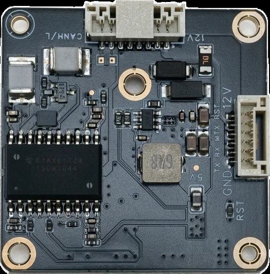 O2 / HopoEngine
Compute platform illustration
GNSS/IMU + color stereo
Evaluate O2 for color vision and fused navigation outputs, or O1 MAX where additional obstacle observations are required. Confirm device configuration and machine safety functions separately.
Agree operating conditions and acceptance targets before comparing field results.
Position continuity, heading consistency and recovery
Docking error, completion and exception stops
Field of view, payload, speed and stopping distance
Capabilities depend on sensors, machine control, operating conditions and project scope. Confirm accuracy, perception and mission performance through field evaluation.
Define the environment, interfaces and delivered scope with HOPO.
Navigation and depth perception are parts of the machine. Personnel detection, protective stops, emergency stops and interlocks require machine-level design and site risk assessment.
The integration approach separates navigation and execution. Confirm interfaces, frames, timing, vehicle models and task feedback with the existing controls.
The indoor approach depends on texture, route stability, maps and operational requirements. Fusion does not remove mapping or configuration needs in every environment; determine them through site tests.